CASE STUDY: Aerial robots (drones) – revolutionising wildlife monitoring and conservation
Case Studies
Boeing Australia – Where humans and automation work together
Since the 2008 establishment of Boeing’s advanced research and development unit …
IR4 – Mass communication via robotic automation
IR4 is an early revenue technology company that is setting global benchmarks in …
Kalmar – AutoStrad Terminal Solution
Within the next 10-15 years many of the major stevedores will automate and the …
Wide area surveillance of the oceans requires a diversity of solutions …
Rio Tinto’s fleet of autonomous haul trucks have moved more than 1 billion tonnes of …
Share this story
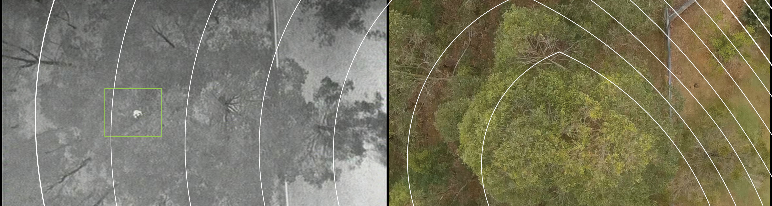
Advanced drone-based systems are enabling the surveillance and location of threatened fauna with the highest-accuracy achievable up to now. QUT researchers have employed these devices to detect and locate koalas by conducting flight campaigns in New South Wales, and areas of neighbouring Queensland, including Logan, the Gold Coast, and the Australia Zoo Wildlife Hospital on the Sunshine Coast.
The research team has developed a unique combination of unmanned aerial vehicles (UAV) with thermal imaging, statistical modelling, and artificial intelligence (AI).
“We’ve found thermal imaging allows the detection of even well-camouflaged koalas effectively and our counting and tracking algorithms discriminate the shape of a koala from a possum, birds or other animals,” says Associate Professor Felipe Gonzalez, who is leading a UAV research team in collaboration with statisticians from the ARC Centre of Excellence for Mathematical & Statistical Frontiers (ACEMS) and biosecurity officers from the Australia Zoo Wildlife Hospital.
The project has already proved the technology can save councils valuable time. In a single test, it takes biosecurity experts over two hours to conduct roughly the same survey a UAV took just 30 minutes to complete.
The technology not only counts koalas and displays their location in georeferenced maps, but it can also monitor their movements and population fluctuations over time.
“This project is primarily focused on assessing koala populations, but this technology can easily be adjusted to monitor other species however, in conservation or pest-cataloguing such as feral cats, wild pigs and dingoes,” Felipe says.
Researchers and council delegates expect that having access to this information would contribute to supporting councils and ecologists into more efficient planning programmes for koala conservation.
Trending Article
An Australian university (ANU) has been the first to trial intelligent drones for automated inspection of solar power plants.
The project is an industry-researcher collaboration funded by the Australian government’s Australian Renewable Energy Agency (ARENA) developing a cost-effective robotic inspection system…
ANCA – Australia’s largest user of industrial robots
ANCA is an Australian company, founded in Melbourne in 1974, now with offices...
BIA5 Innovation Robotics and customers
BIA5 Pty Ltd is a start-up company that specialises in designing, manufacturing...
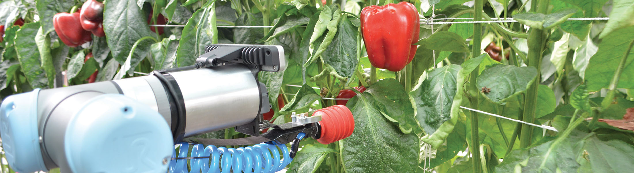
Harvey - the capsicum-picking robot
The horticulture industry in Australia has a gross value of more than $AU8...
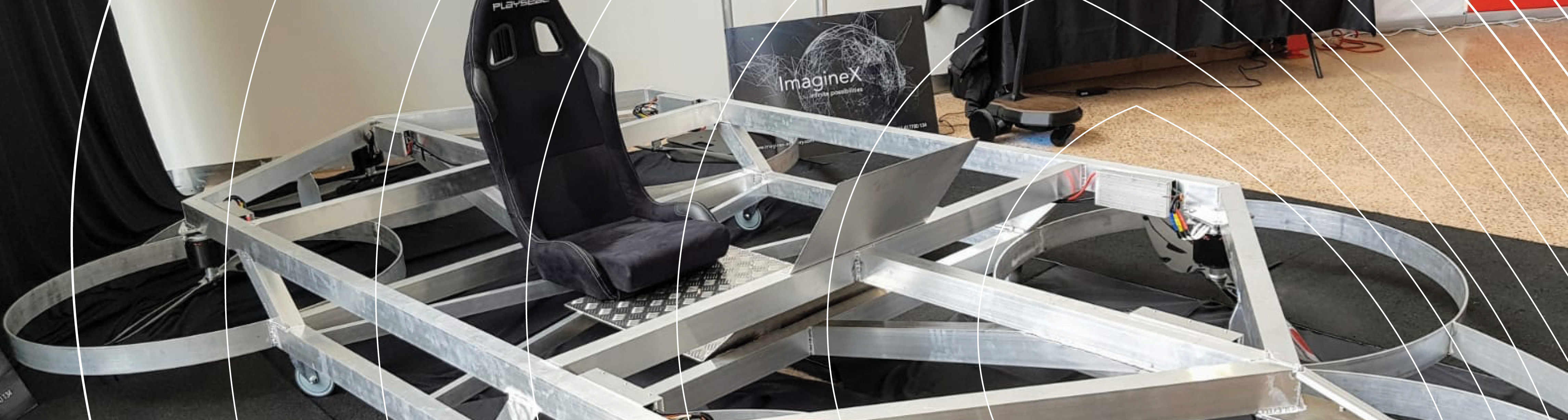
Pegasus Alpha – Flying car
In the back streets of Brisbane, two brothers with a passion for the automotive industry had a feeling that the future is vertical.